What the phone sees
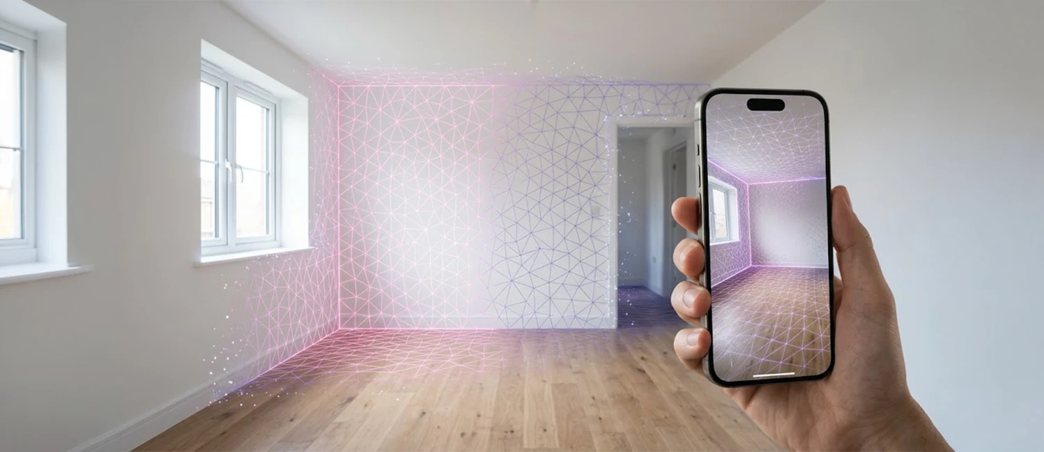
Drag the handle: photo to plan.
The same room, as you saw it and as Inkaroom drew it.
 PhotoPlan
Your iPhone Pro fires thousands of invisible laser points a second and times their return. Inkaroom turns that cloud of points into walls, doors and windows as you walk — and into a measured floor plan with areas in metres and feet before you've left the property.
The same room, as you saw it and as Inkaroom drew it.
PhotoPlan
No tape, no graph paper, no drawing it up tonight.
Stand in the doorway and point the phone at the room. The scanner picks up the walls straight away.
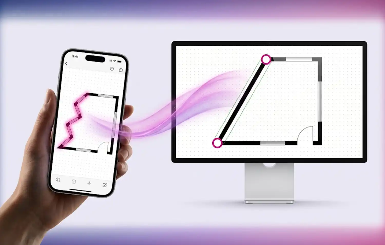
Walk the room slowly. Walls, doors and windows appear on screen as you go. Next room — the app joins them up.
Room names and areas are on the plan. Tidy anything the scanner was unsure of, export the PDF.
Mirrors, glass and dark walls can throw any LiDAR scanner. Inkaroom shows you which walls it was confident about, and lets you drag, straighten or redraw the rest in a few taps — the areas and the perimeter update as you go.
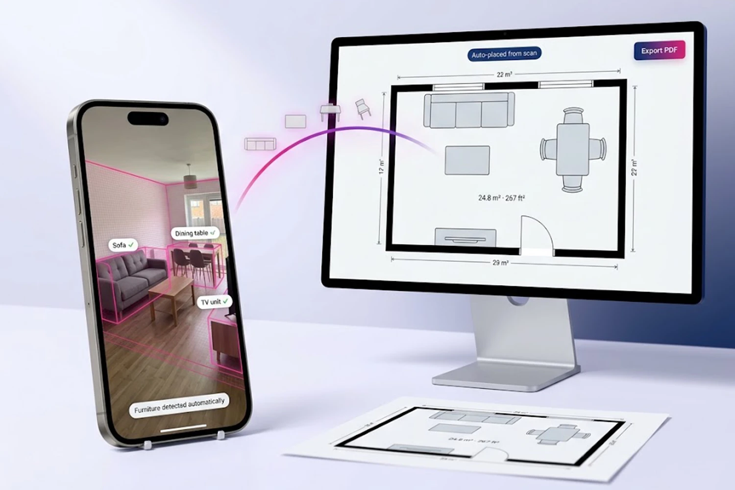
Every export carries the room names, the areas in m² and ft², the total floor area and your logo. Estate agents put it straight on the listing; surveyors get the same plan with the survey figures behind it.
Every account gets 2 projects free to try, no card. Prices include VAT.
First 100 accounts, first 3 months
Founding, first 3 months
The Pro and Pro Max models from the iPhone 12 Pro onwards, and the iPad Pro from 2020. Standard and Plus iPhones don't have the scanner, so they can draw a plan by hand in the app but not scan one.
How accurate is a LiDAR floor plan?On a normal room, walls come out within a couple of centimetres. Mirrors, floor-to-ceiling glass and very dark walls can confuse the scanner — Inkaroom lets you nudge any wall afterwards and the areas update.
How long does a house take?About a minute a room. A three-bed semi is usually scanned, tidied and exported in under fifteen minutes.
Can I measure something that isn't a wall?Yes — point the camera, tap two points and read the distance: radiators, alcoves, window reveals, anything you'd reach for a tape for.
Does it need signal?No. Scanning and the plan happen on the phone. You need a connection only to send the PDF or sync to the portal.
What does it cost?Free plan: 2 projects to try, no card. Surveyor is £39.99 a month including VAT for 15 projects; the first 100 accounts pay £24.99 for their first 3 months.
The same scan carries the survey behind the plan.